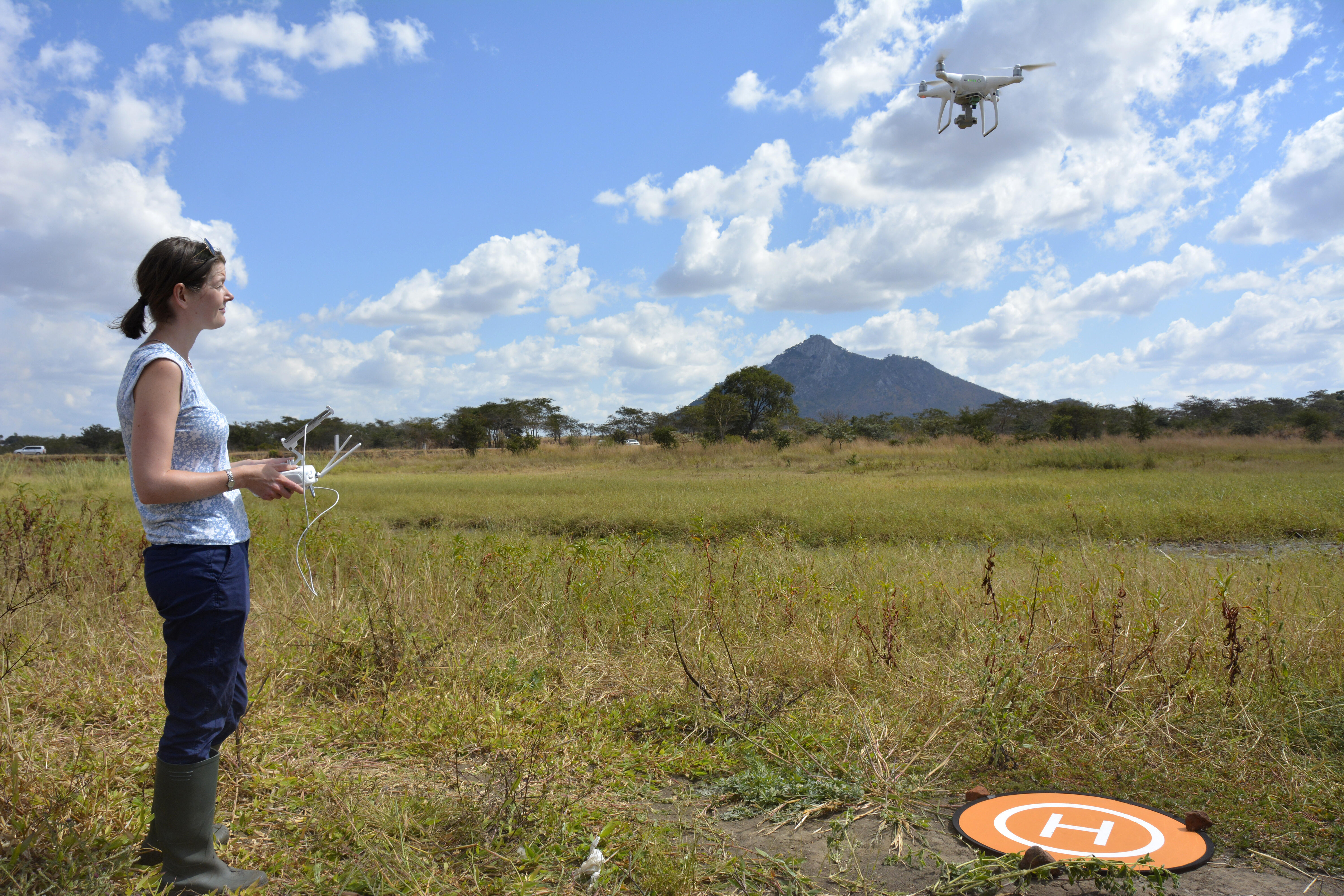
A new project using drones to find where mosquitoes are breeding to help efforts in malaria control has been launched in Malawi. The project is coordinated by LSTM’s Honorary Research Fellow Michelle Stanton and Senior Lecturer Chris Jones.
Dr Stanton and Dr Jones utilised Africa’s first humanitarian drone testing corridor, launched by the Malawian Government and UNICEF in 2017, to assess the impact and potential cost savings that could be achieved by using drones to search for mosquito breeding sites. The overall goal of the project is to develop an affordable and user-friendly system that can be incorporated by control programmes to target their malaria interventions.
Dr Stanton said: “The fact that the UNICEF corridor was already in place was a real advantage and meant that permissions to fly drones in Malawi were much easier to get. The real focus of this project is to work out whether drone technology can be used directly by the National Malaria Control Programme, rather than this simply be a research project into whether drone imagery can be used to find mosquito breeding sites. We’ve been comparing different type of drones and different software packages so that we can make comparisons in terms of cost-effectiveness and ease of use as well as accuracy in identifying breeding sites. The hope is that a drone-based approach is both less labour intensive and more cost-effective than traditional methods.“
Dr Stanton, who is also an MRC Population Health Scientist at Lancaster University, Dr Jones and Remy Hoek Spaans, a student who is part of the MRC Doctoral Training Partnership between LSTM and Lancaster University, spent two weeks in June in the drone testing corridor in Kasungu District collecting aerial images of reservoirs and taking water samples to establish where mosquito larvae were located. Reservoirs are a known potential breeding site for mosquitoes during the dry season when other stagnant water is sparse. Following the success of this initial work, the team will look to repeat the work during the rainy season during which temporary waterbodies may also be used as breeding sites.
Dr Jones, who is based at the Malawi Liverpool Wellcome Trust (MLW) Clinical Research Programme in Blantyre, Malawi, said: “We found a large number of mosquitoes in the shoreline of the reservoirs but the distribution was patchy depending upon the type of habitat. It will be fascinating to see whether the imagery captured by the drone matches what we sampled on the ground. If so, then the next step is to prove we can map mosquito breeding sites effectively and cheaply. These initial two weeks have proved a hopeful starting point. At MLW we’re trying to build capacity in entomological research in Malawi and provide tangible solutions to improve vector-borne disease control. This project is a nice combination of Dr Stanton’s spatial mapping skills with field entomology to do just that”.
Following the fieldwork, the team delivered a two-day training session at Lilongwe University of Agriculture and Natural Resources (LUANAR) to staff and students of the university, providing an introduction to geographical information systems (GIS) and drone image classification. The hope is to start building capacity to conduct drone-based activities within Malawi so that tasks such as mosquito breeding site identification can be truly county-led initiatives.
Drones are also being used to identify breeding sites closer to home as part of LSTM’s PhD student Aislinn Currie-Jordan’s research. Aislinn is utilising drone technology to take pictures of the breeding sites of the local nuisance biter Aedes detritus, on marsh land at Little Neston in Cheshire. As part of her PhD she wants to record and map the variable habitat which becomes very dry during the summer, wet in winter and is prone to periodic flooding, measuring the number of adult mosquitoes through the seasonal changes.